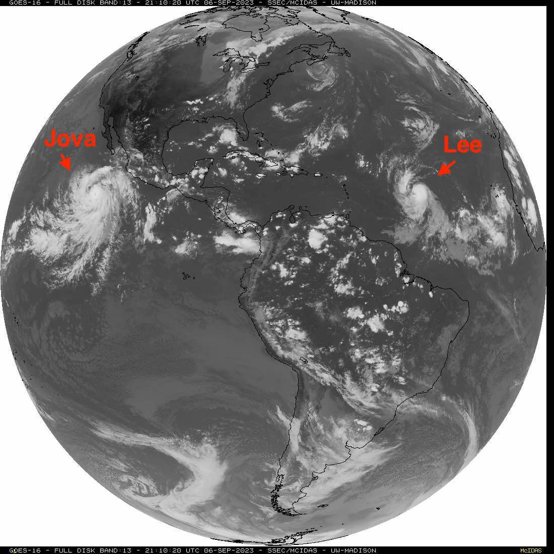
Hurricane Lee
Forums:
Now that the peak of hurricane season has begun, we have our next contestant waiting to bankrupt a few more insurance companies, with potential widespread destruction (I hope it turns north and spares the islands, but if it wiped out Mar a loco while sparing the innocent civilians, that could be interesting. Either way, areas in it's path should stay vigilant!
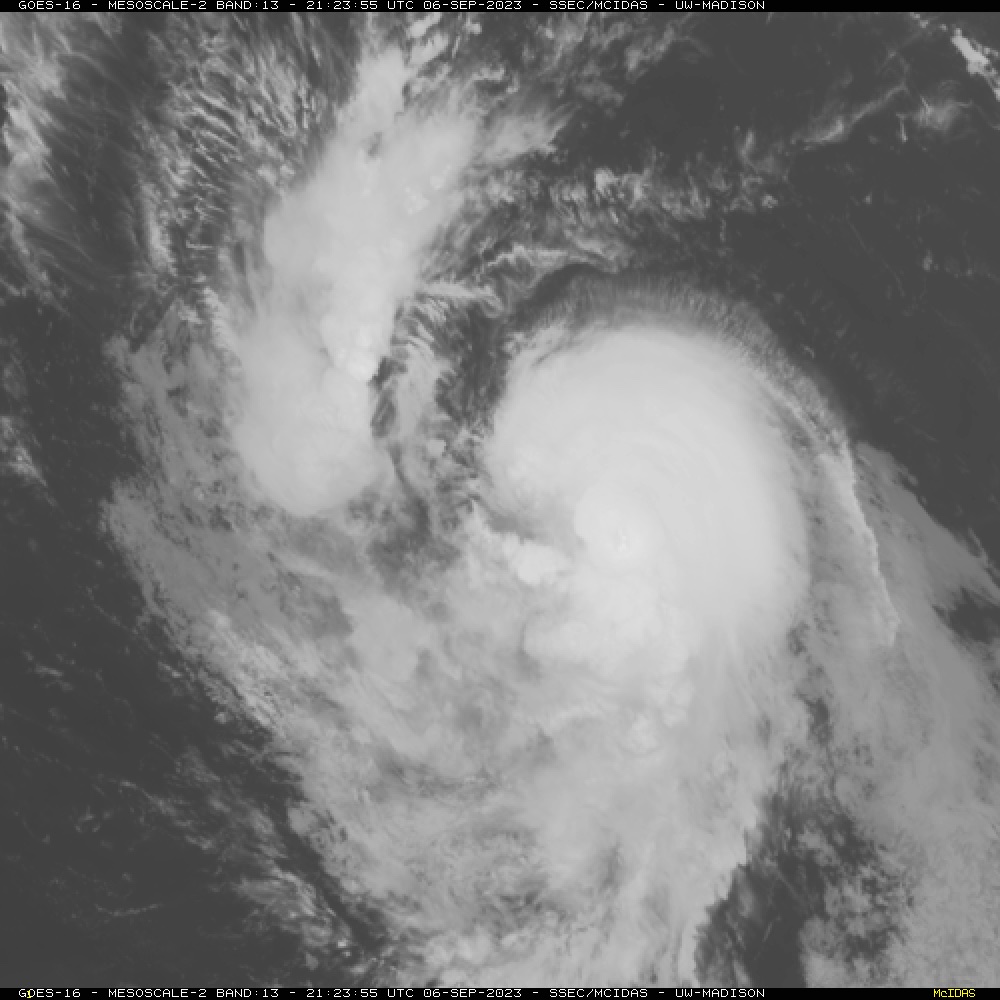
Hurricane Lee, with official hurricane force winds as of the 5pm ET update.
75mph sustained winds, moving WNW at 14mph
- Log in to post comments
Top of Page Bottom of Page PermalinkFull Name: Ken D.
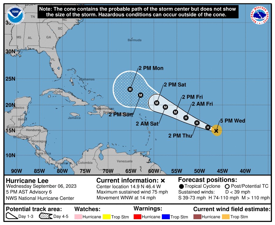
Lee is going to be a big one,
Lee is going to be a big one, but so far the models show it staying out at sea. We will see.
Top of Page Bottom of Page PermalinkFull Name: Druba
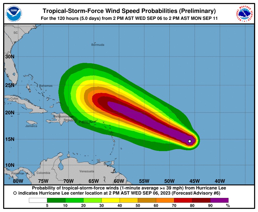
That far out a system in the
That far out, a system in the westerlies will usually grab a tropical storm and turn it north. One model has that happening when it nears Puerto Rico, which is the end of this forecast map. This far out the entire eastern coast should be vigilant, as it could turn north into New England.
Top of Page Bottom of Page PermalinkFull Name: Druba
24 hours later, Lee has a
24 hours later, Lee has a well established eye wall, with sustained winds of 130pm, moving WNW at 13mph... The standard forecasts still having it move WNW, so no turn to the north forecast yet (some longer range models do, but don't trust them that far out)
Top of Page Bottom of Page PermalinkFull Name: Ken D.
This has to be some of the
This has to be some of the fastest intensification on record (which was broken two weeks ago with Idalia).
Top of Page Bottom of Page PermalinkFull Name: El Nino
Virgil's going to be cheering
Virgil's going to be cheering on Lee if it turns and takes out the North.
Top of Page Bottom of Page PermalinkFull Name: Druba
At 10pm ET the winds are up
At 10pm ET the winds are up to 160mph, that really is a huge jump in such a short amount of time!
Top of Page Bottom of Page PermalinkFull Name: Philzone Refugee
Any chance the Cone Of
Any chance the Cone Of Possibility has it passing through Remulec?
Top of Page Bottom of Page PermalinkFull Name: Tim
Long Board Weekend
Long Board Weekend